Serpentes (Snake)
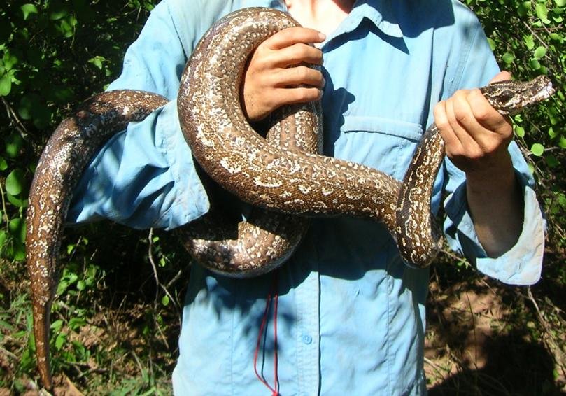
Snake fitted with an Implanted tracking unit
TGB fors snakes: GNSS+BT with separate VHF radio
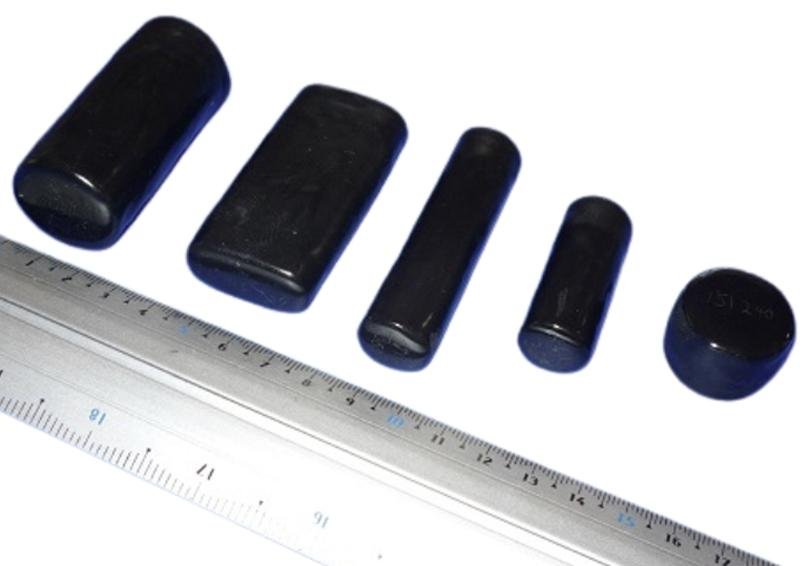
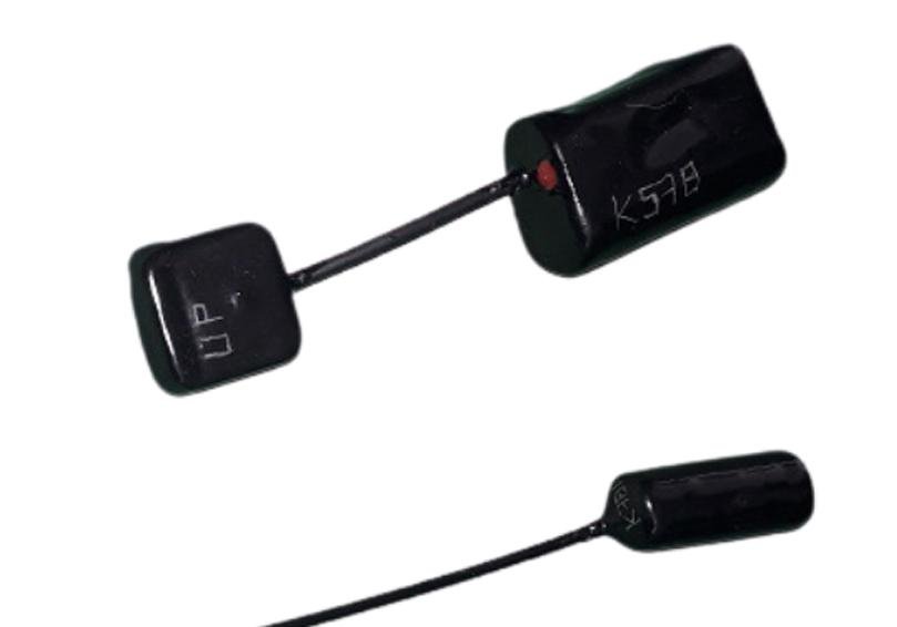
Different Implant models for snakes
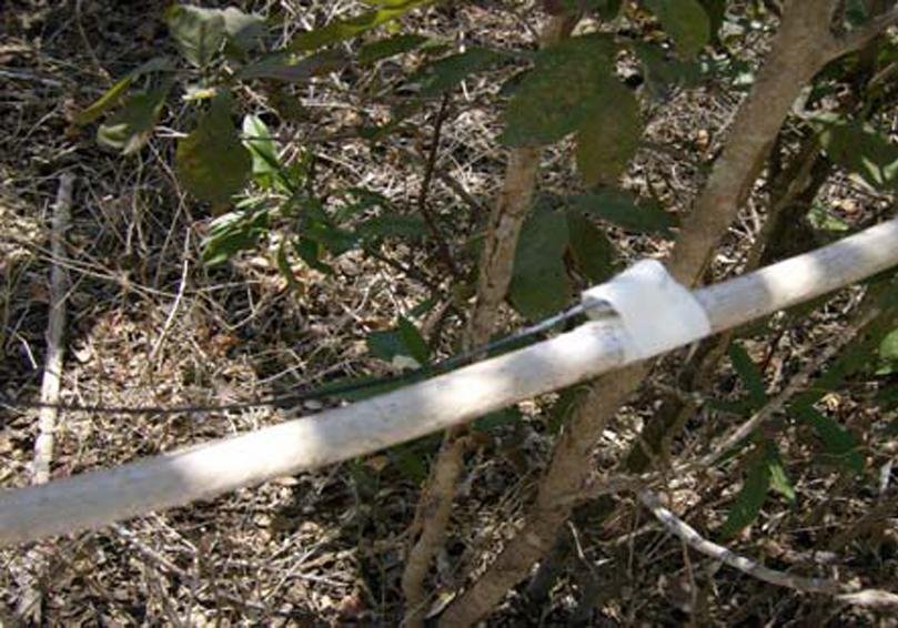
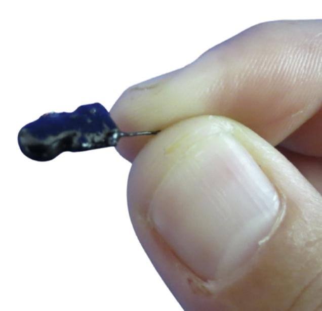
Arboreal snake fitted with a VHF radio
Typical species:
Ranging from slender arboreal varieties to the world’s largest constrictors, including Oxybelis aeneus, Imantodes cenchoa, Philodryas viridissima, Corallus hortulana, Dendroaspis viridis, Morelia viridis, Pantherophis guttatus, Naja naja, Ophiophagus hannah, Python regius, Boa constrictor, Eunectes notaeus, Python molurus, Python reticulatus or Eunectes murinus
Attachment:
Snakes present a particular tracking challenge because their body shape and movement provide no consistently secure external attachment point. External methods may be considered for short-term studies, but retention is often unpredictable and the unit may detach relatively quickly. Various techniques—including externally sutured attachments—have been attempted, but results can vary considerably among species, individuals and field conditions.
For this reason, implanted transmitters are generally recommended whenever the study requires reliable medium- or long-term tracking. Implantation requires surgery and must be performed by qualified veterinary or wildlife personnel, but compact VHF transmitters are well suited to this approach and are commonly the most practical option for snakes.
GNSS tracking is considerably more difficult. The antenna must be positioned very close to the skin and must have a sufficiently unobstructed view of the sky. Because a snake’s body may frequently cover the antenna—or the animal may remain underground, beneath vegetation or inside shelters—successful position acquisition can be intermittent or impossible for extended periods.
Hybrid configurations in which the main electronics are implanted while the GNSS antenna remains external have also been attempted. However, Telenax does not generally recommend this approach because attachment reliability, sealing, animal movement and antenna performance can be problematic, and field results have been inconsistent.
For very short-term studies, another possible approach to allow the snake to ingest it. The transmitter can then be tracked while it remains within the digestive system and until it is naturally expelled or regurgitated.
Telenax has developed several customer-defined configurations for snake projects. Because feasibility depends strongly on the species, body size, behavior, habitat, study duration and required data, we recommend discussing the project in detail before selecting a design. This allows the researcher and Telenax to evaluate the trade-offs and define the most practical configuration together.
Tracking options:
TGB – GNSS + Bluetooth Long-Range
VHF radio-tracking
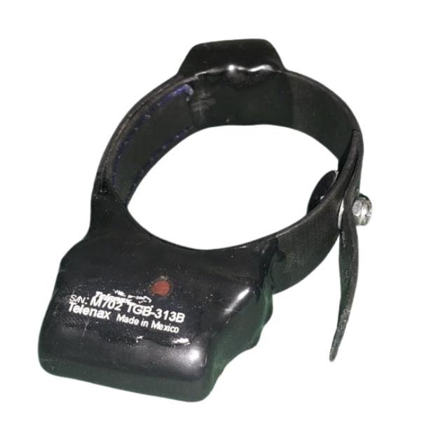
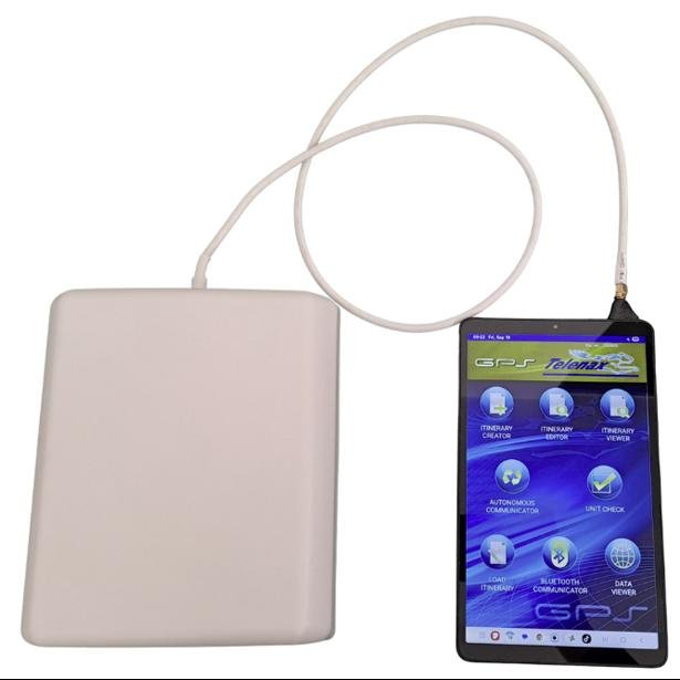
TGB – GNSS + Long-Range Bluetooth
A GNSS-based wildlife monitoring system that records location and sensor data according to a user-defined schedule. The stored information can be retrieved periodically through a long-range Bluetooth connection using the Telenax app on an Android tablet or mobile device whenever it comes within communication range.
Data retrieval can be performed manually by visiting the study area, or autonomously by leaving an Android device at a location frequently visited by the animal. A compatible device may also be carried by a drone where regulations, terrain and operating conditions permit.
Main advantages:
- GNSS positions and supporting sensor data (gyroscope, accelerometer, activity level, temperature, battery voltage)
- Flexible, user-defined recording schedules
- No satellite subscription or per-message communication charges
- Automatic or on-demand Bluetooth data retrieval
- Compatible with Android tablets and mobile devices
- VHF transmitter included to help locate the animal or approach the unit before Bluetooth retrieval
- Lower energy demand than satellite-transmission systems (longer life for same size-weight)
Important considerations:
- Stored data cannot be retrieved until the unit comes within Bluetooth communication range
- Practical range depends on vegetation, terrain, antenna and other obstructions
- The project must include a realistic data-retrieval strategy
- Usually, VHF transmitter is used for locating and approaching at a greater distance, then the Bluetooth is used for data retrieval
- VHF Receiver and VHF Directional antenna are required for the VHF capability
- Modified Android device and external Bluetooth antenna are required for longest-range data retrieval
Best used for:
- Easily accessible animals
- Medium-budget studies
- When the Android device can periodically approach the animal or vice versa (tens to a few hundreds of meters)
- Small animals that are not capable to handle the extra weight and restrictions of systems that include GSM or Satellite data retrieval
- Animals that can carry GNSS equipment but where satellite communication hardware would add unnecessary weight, energy consumption or cost
Telenax GPS interaction App (TGI) for TGB
The TGI Android app allows researchers to program operating schedules, configure GNSS and sensor acquisition, retrieve stored data automatically or on demand, calculate expected operating life, perform pre-deployment checks and control optional drop-off systems.
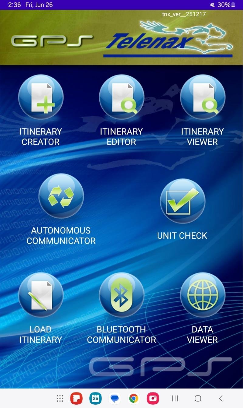
Full set
– Create, modify and Protect your Itinerary
– Upload itinerary to the unit
– Download data
– Activate Drop-off
– Autonomous or user-controlled
– Pre-deployment verification
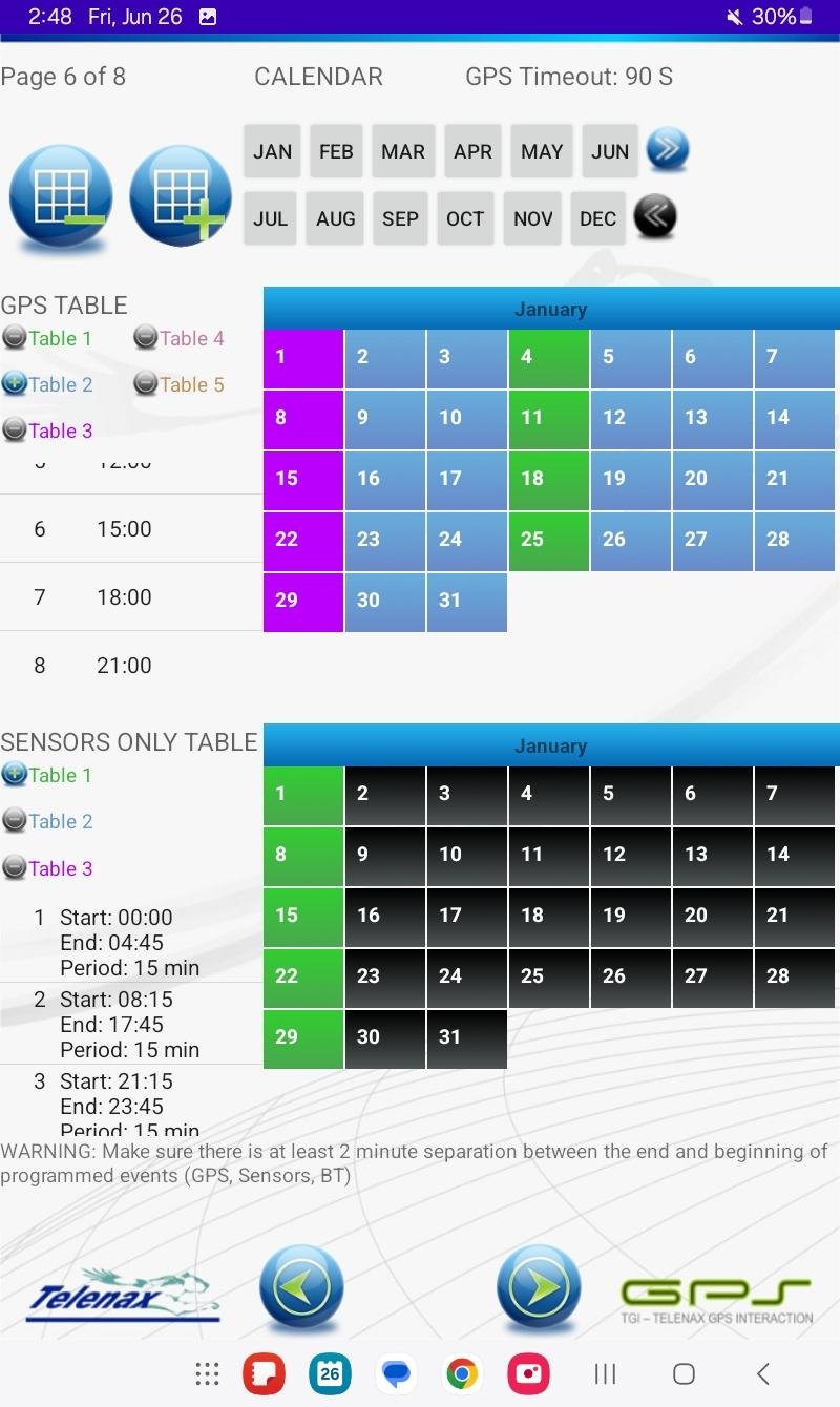
Itinerary
– Build fully custom tracking schedules
– GNSS fixes as often as once per minute, by ranges, at specific times, or any mix
– Configurable GNSS timeout tuned to terrain (open desert, dense jungle…)
– Assign different daily schedules to different days of the year, as desired
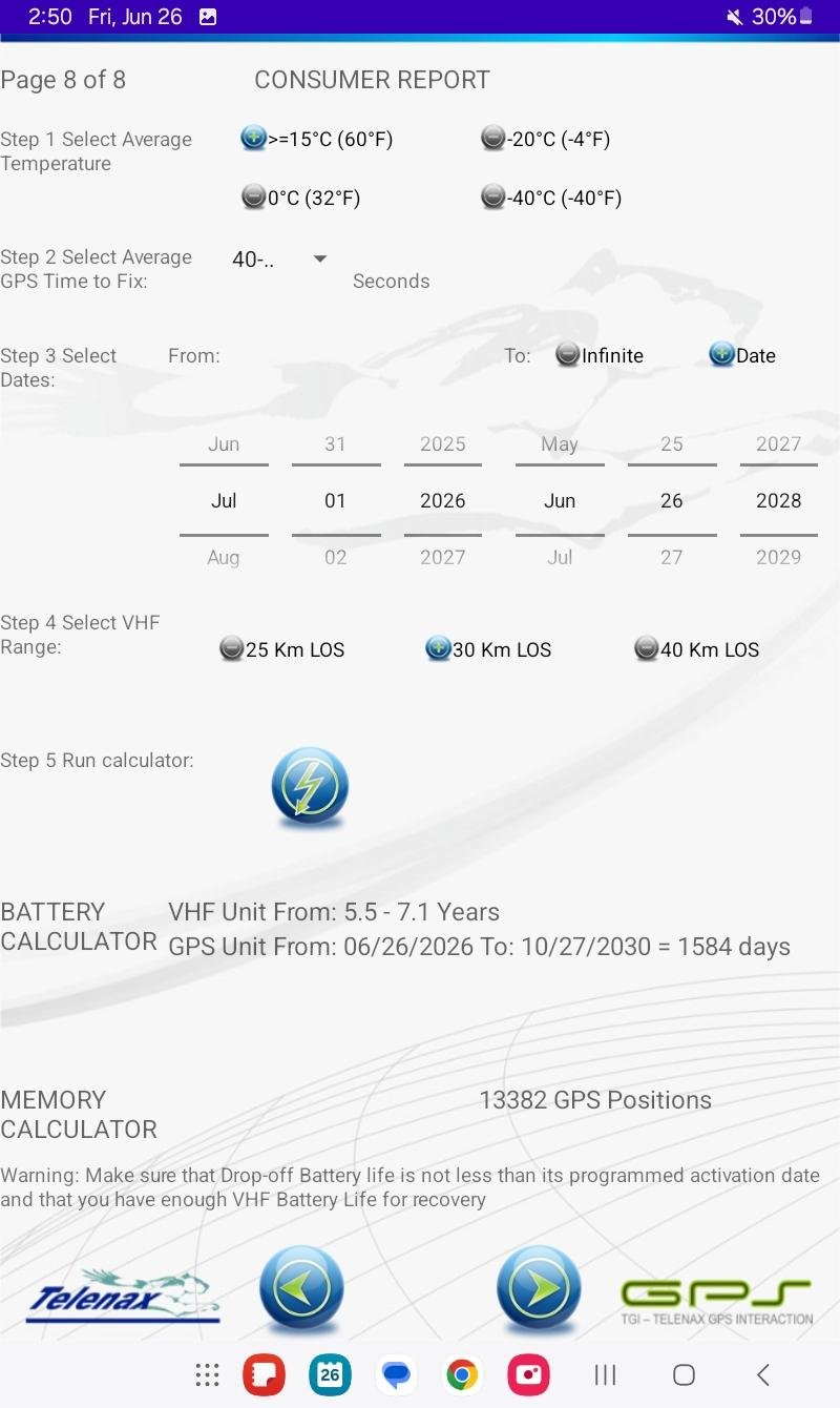
Battery Calculator
Estimate operating life based on:
– YOUR created Itinerary
– Your particular unit
– Main Temperature
– GNSS Time To Fix
– Total life
– From project’s Starting Date to Finish Date
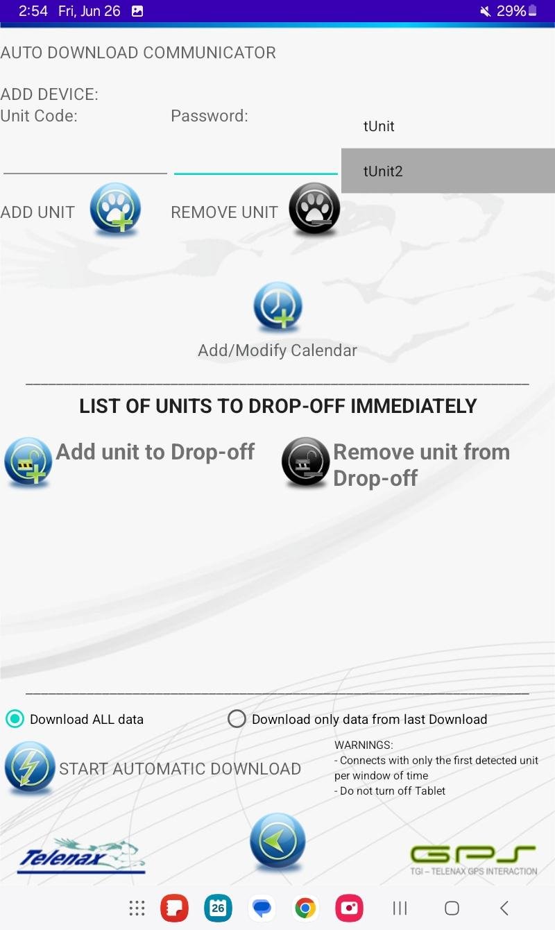
Automated
Leave the Android device on-site and let it do the work on its own
– Data downloading
– Drop-off activation
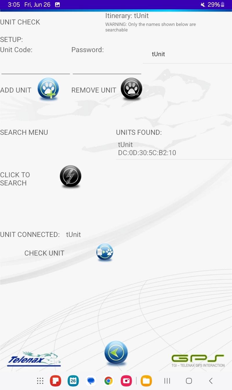
Final checkup
Pre-deployment verification of battery, itinerary, and initialization status
Release with confidence
Sensors and Project-Specific Capabilities
Included on all GNSS fixes
- Three-axis gyroscope
- Three-axis accelerometer
- Temperature sensor (of device, not necessarily of animal)
- Activity level, normalized from 0 to 100
- Speed (provided by GNSS)
- Battery voltage
- “Animal not moving” notification
- Highly flexible operating itineraries for GPS acquisition, data transmission, drop-off activation
- Battery life calculator based on your created Itinerary
- VHF transmitter
- Activity, inactivity and mortality on VHF transmitter (not included when VHF battery life requires to be extended to the maximum possible)
- Number of acquired satellites and HDOP
- Data provided in CSV and KML (Google Earth) formats for further analysis
Optional features:
- Automated Release system (drop-off) which can be activated by:
- Exact date
- Number of days after activation
- On-demand through Bluetooth communication
- Water sensor: The unit will halt the GNSS acquisition when in water and will attempt it once it senses the device is out of the water.
- Biodegradable release link
- Fully independent VHF (own battery and electronics)
TX – VHF Radio Tracking
The most lightweight and highly energy-efficient and proven technology for locating animals directly in the field.
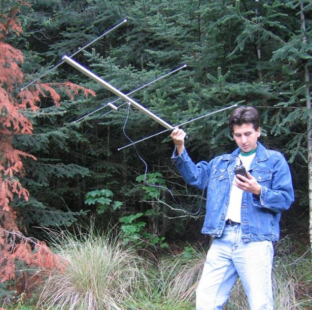
Transmitters (TX) emit pulsed electromagnetic signals at user-defined specific frequencies, alternating with silent intervals. Researchers detect these signals using a handheld receiver and a directional antenna to find the signal’s direction. Drawing lines from two different points toward the signal creates an intersection that pinpoints the transmitter’s location.
Main advantages:
- Activity, inactivity and mortality sensing may be available
- Very low power consumption
- Very small and lightweight
- Long operating life
- No extra service costs
- Direct field location at any time
- VHF localization is often included as a supporting feature in GPS-based tracking systems
Important considerations:
- Researchers must actively search for the signal whenever a location or status check is required
- Practical detection range depends strongly on terrain, vegetation, antenna, animal behavior and transmitter configuration
- VHF provides directional location information rather than automatically recorded GPS positions
- VHF Receiver and VHF Directional antenna are required
Best for:
- Survival, dispersal and presence-monitoring studies
- Cost-sensitive projects
- Species that do not move too far (from hundreds of meters to a few kilometers)
- Small species that cannot carry heavier GPS-based equipment
- When researchers can easily conduct field searches
- When low weight, long operating life is a priority
- Detect presence in the area at any desired moment